CO3D: CNES Very High Resolution mission dedicated to 3D, to produce a global DSM by 2027
Do you know the CNES/AIRBUS CO3D mission ? As our Sentinel-HR mission could be made of satellites derived from those of the CO3D mission, it is a good opportunity to advertise this nice mission here. I took all the information from a presentation and a paper [1] written by Laurent Lebègue and the CO3D team.
A tasked multispectral VHR mission
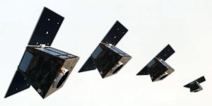
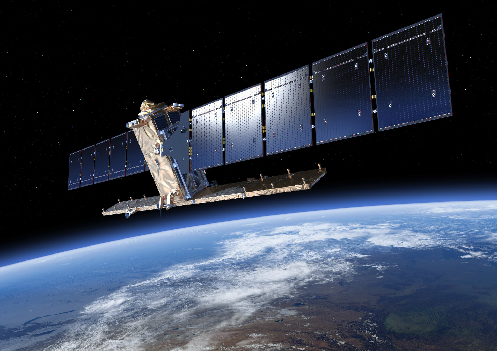
The CO3D mission (3D Optical Constellation) is a decided mission, currently in phase C/D, due to be launched in mid 2025 ! It is made of two pairs of low cost satellites. The 300 kg CO3D satellites may be used as tasked VHR satellites, allowing to take images at 50 cm resolution, 4 bands (Blue, Green, Red, NIR), and a field of view of 7 km. At this resolution, one usually only gets a panchromatic band, or at best a Pan-sharpened image, but CO3D will provide 4 bands at 50 cm! These products will be sold by Airbus Defense and Space.
A 3D mission
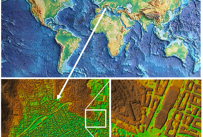
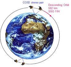
The main feature of CO3D is its ability to make stereoscopic observations from the same orbit with a base-height ratio of 0.2 to 0.3, almost simultaneously, thanks to two pairs of satellites, which can make simultaneous stereoscopic observations, as shown on the figure to the right. The main mission objective for CNES is to make a global Digital Surface Model (DSM) by 2027, with 90% of the surface covered (there are regions with persistent cloudiness). During the first eighteen months, the efforts will concentrate on two priority regions in which the DSM will be produced: one in France, where we will be able to perform an extensive validation, and the other bigger one (27 M. km²) covers North and Tropical Africa and the Middle East.
But meanwhile, stereo acquisitions on other parts of the world will be also performed. After the 18 first months, the DSM production will be extended to the whole land surfaces. Some capacity of revisit to monitor DSM change with time will be possible, but it will not be global. A capacity of 600 000 km² per year has already been negotiated, and it will be possible to increase it at a low fare. Demands will go through the Dinamis portal.
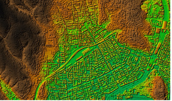
The objective is to get a 1 m relative altimetric accuracy (CE90) at 1 m ground sampling distance (GSD). Each DSM will be produced at 1, 4, 12, 15 and 30 meter GSD. At 15 m and 30m GSD, the DSM will be delivered as open data.
The project aims at delivering DSMs fully automatically, which requires a huge effort for the development of algorithms and software, including the CARS method [2], a stereo pipeline to produce DSMs that is available as open source. A large downstream service to develop 3D methods and applications is being set-up through CNES S3D2 program, and through the AI4GEO project.
Written by O.Hagolle, with the appreciated help of Jean-Marc Delvit, Laurent Lebègue, Delphine Leroux and Simon Gascoin.
References
[1] Lebègue, L., Cazala-Hourcade, E., Languille, F., Artigues, S., and Melet, O.: CO3D, A WORLDWIDE ONE ONE-METER ACCURACY DEM FOR 2025, Int. Arch. Photogramm. Remote Sens. Spatial Inf. Sci., XLIII-B1-2020, 299–304, https://doi.org/10.5194/isprs-archives-XLIII-B1-2020-299-2020, 2020
[2] Michel, J., Sarrazin, E., Youssefi, D., Cournet, M., Buffe, F., Delvit, J. M., Emilien, A., Bosman, J., Melet, O., and L’Helguen, C.: A NEW SATELLITE IMAGERY STEREO PIPELINE DESIGNED FOR SCALABILITY, ROBUSTNESS AND PERFORMANCE, ISPRS Ann. Photogramm. Remote Sens. Spatial Inf. Sci., V-2-2020, 171–178, https://doi.org/10.5194/isprs-annals-V-2-2020-171-2020, 2020.