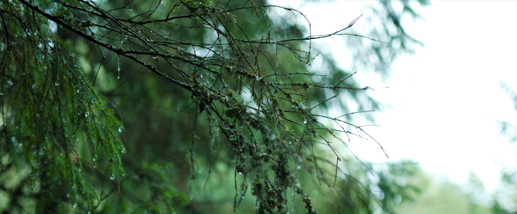
Today is March 21, a date proclaimed by the United Nations to celebrate and raise awareness about the importance of forests in our planet. What does a Soil Moisture and Ocean Salinity satellite have to do with it ? Given the total area of forests on Earth (4 billion hectares), monitoring this biomass from space seems like an interesting option, and SMOS may have some tricks up its sleeve.
In addition to soil moisture and ocean salinity, the satellite also measures the contribution of the vegetation layer, commonly known as the Vegetation Optical Depth. Indeed, microwaves are very sensitive to liquid water, which can be contained in vegetation. From space, SMOS receives a signal that is a proxy for both the presence of vegetation above ground and for the water content of that vegetation. To estimate the amount of biomass from this parameter, several methods have been explored (neural networks, parametric functions…) and maps of Above-Ground Biomass are available on the CATDS website since 2023. Such maps helped to quantify carbon stocks evolution in the forests of the world.
What’s next ? There are still some things that needs to be better understood, such as the discrepancies between radar, in-situ and radiometric biomass maps or explored further, such as the potential of synergies between different radio wave data.
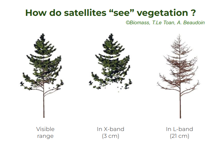 SMOS operates in the L-band, which is an interesting frequency for biomass estimation because its wavelength (21 cm) interacts with most of the trees above ground (through trunks, largest branches…) However, we are now working on integrating also shorter wavelengths (from C-and X-band) into the calculation, to take into account more elements of the vegetation (smaller branches, leaves…).
Such research is of crucial interest, for example to better understand the evapotranspiration of vegetation, a key component of the water cycle. The Vegetation Optical Depth can also help us to better assess the role of forests, that can act as carbon sinks or carbon sources, in a context of climate change.